***USE AT YOUR OWN RISK***
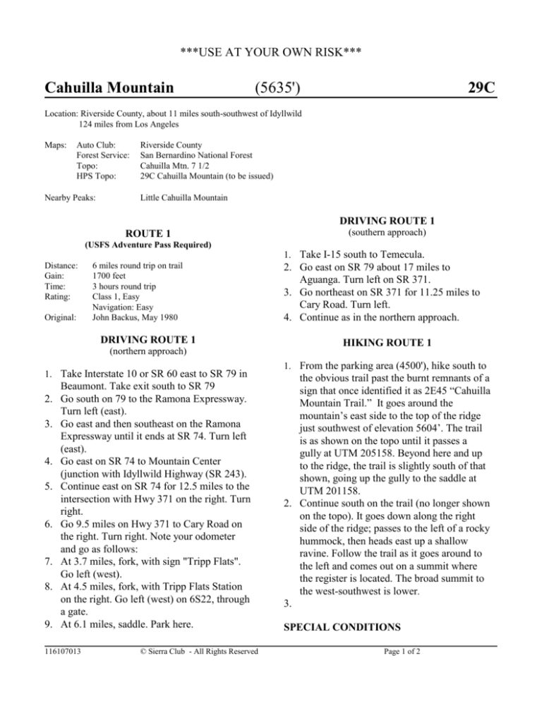
Cahuilla Mountain
(5635')
29C
Location: Riverside County, about 11 miles south-southwest of Idyllwild
124 miles from Los Angeles
Maps:
Auto Club:
Forest Service:
Topo:
HPS Topo:
Nearby Peaks:
Riverside County
San Bernardino National Forest
Cahuilla Mtn. 7 1/2
29C Cahuilla Mountain (to be issued)
Little Cahuilla Mountain
DRIVING ROUTE 1
ROUTE 1
(southern approach)
(USFS Adventure Pass Required)
1. Take I-15 south to Temecula.
Distance:
Gain:
Time:
Rating:
Original:
6 miles round trip on trail
1700 feet
3 hours round trip
Class 1, Easy
Navigation: Easy
John Backus, May 1980
DRIVING ROUTE 1
(northern approach)
1. Take Interstate 10 or SR 60 east to SR 79 in
2.
3.
4.
5.
6.
7.
8.
9.
Beaumont. Take exit south to SR 79
Go south on 79 to the Ramona Expressway.
Turn left (east).
Go east and then southeast on the Ramona
Expressway until it ends at SR 74. Turn left
(east).
Go east on SR 74 to Mountain Center
(junction with Idyllwild Highway (SR 243).
Continue east on SR 74 for 12.5 miles to the
intersection with Hwy 371 on the right. Turn
right.
Go 9.5 miles on Hwy 371 to Cary Road on
the right. Turn right. Note your odometer
and go as follows:
At 3.7 miles, fork, with sign "Tripp Flats".
Go left (west).
At 4.5 miles, fork, with Tripp Flats Station
on the right. Go left (west) on 6S22, through
a gate.
At 6.1 miles, saddle. Park here.
116107013
© Sierra Club - All Rights Reserved
2. Go east on SR 79 about 17 miles to
Aguanga. Turn left on SR 371.
3. Go northeast on SR 371 for 11.25 miles to
Cary Road. Turn left.
4. Continue as in the northern approach.
HIKING ROUTE 1
1. From the parking area (4500'), hike south to
the obvious trail past the burnt remnants of a
sign that once identified it as 2E45 “Cahuilla
Mountain Trail.” It goes around the
mountain’s east side to the top of the ridge
just southwest of elevation 5604’. The trail
is as shown on the topo until it passes a
gully at UTM 205158. Beyond here and up
to the ridge, the trail is slightly south of that
shown, going up the gully to the saddle at
UTM 201158.
2. Continue south on the trail (no longer shown
on the topo). It goes down along the right
side of the ridge; passes to the left of a rocky
hummock, then heads east up a shallow
ravine. Follow the trail as it goes around to
the left and comes out on a summit where
the register is located. The broad summit to
the west-southwest is lower.
3.
SPECIAL CONDITIONS
Page 1 of 2
***USE AT YOUR OWN RISK***
Cahuilla Mountain
(5635')
29C
Dirt roads in the area may be closed for fire or rainy
season. Check with the Forest Service in Idyllwild:
(909) 659-2117
Please report any corrections or changes to the
Mountain Records Chair.
Change Log:
11-28-2002 BP-Corrected southerly approach driving
directions from 113 miles to 11.25 miles. Also, corrected
some WP formatting errors.
03-12-2003 WL-changed Gain: from 1100’ to 1700’;
changed driving directions 9.; changed hiking directions
1.
116107013
© Sierra Club - All Rights Reserved
Page 2 of 2


