Review Concepts for the Earth Science Midterm 2015. ESRT pages
advertisement
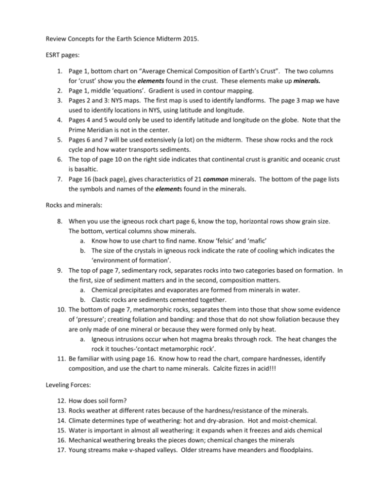
Review Concepts for the Earth Science Midterm 2015. ESRT pages: 1. Page 1, bottom chart on “Average Chemical Composition of Earth’s Crust”. The two columns for ‘crust’ show you the elements found in the crust. These elements make up minerals. 2. Page 1, middle ‘equations’. Gradient is used in contour mapping. 3. Pages 2 and 3: NYS maps. The first map is used to identify landforms. The page 3 map we have used to identify locations in NYS, using latitude and longitude. 4. Pages 4 and 5 would only be used to identify latitude and longitude on the globe. Note that the Prime Meridian is not in the center. 5. Pages 6 and 7 will be used extensively (a lot) on the midterm. These show rocks and the rock cycle and how water transports sediments. 6. The top of page 10 on the right side indicates that continental crust is granitic and oceanic crust is basaltic. 7. Page 16 (back page), gives characteristics of 21 common minerals. The bottom of the page lists the symbols and names of the elements found in the minerals. Rocks and minerals: 8. When you use the igneous rock chart page 6, know the top, horizontal rows show grain size. The bottom, vertical columns show minerals. a. Know how to use chart to find name. Know ‘felsic’ and ‘mafic’ b. The size of the crystals in igneous rock indicate the rate of cooling which indicates the ‘environment of formation’. 9. The top of page 7, sedimentary rock, separates rocks into two categories based on formation. In the first, size of sediment matters and in the second, composition matters. a. Chemical precipitates and evaporates are formed from minerals in water. b. Clastic rocks are sediments cemented together. 10. The bottom of page 7, metamorphic rocks, separates them into those that show some evidence of ‘pressure’; creating foliation and banding: and those that do not show foliation because they are only made of one mineral or because they were formed only by heat. a. Igneous intrusions occur when hot magma breaks through rock. The heat changes the rock it touches-‘contact metamorphic rock’. 11. Be familiar with using page 16. Know how to read the chart, compare hardnesses, identify composition, and use the chart to name minerals. Calcite fizzes in acid!!! Leveling Forces: 12. 13. 14. 15. 16. 17. How does soil form? Rocks weather at different rates because of the hardness/resistance of the minerals. Climate determines type of weathering: hot and dry-abrasion. Hot and moist-chemical. Water is important in almost all weathering: it expands when it freezes and aids chemical Mechanical weathering breaks the pieces down; chemical changes the minerals Young streams make v-shaped valleys. Older streams have meanders and floodplains. 18. Outside bend of rivers-erosion and faster water. Inside bend-deposition and slower water. 19. When water and air slow down, the particles they are carrying are dropped by size. a. Largest particles settle first-smallest on top b. The speed of water versus particle size is page 6 top right. Hard chart to read. 20. Weathering rate is slower when particle size is large, because there is less surface area. Small particles have greater surface area, so weathering is faster. 21. Glaciers covered our area during Ice Ages. Be familiar with evidence of this: glacial till, eskers, drumlins, kettle lakes, erratics and U-shaped valleys. 22. Know the gentle side of a sand dune is the windward side. 23. Know the pattern of deposition in a delta and what a delta is….. 24. Longshore drift (current) occurs as waves move into the beach at an angle, but go back out straight. That causes sand to move parallel to the shore and get deposited when anything slows it down. Mapping 25. Latitude lines are like the steps of a ladder, north and south from equator. Longitude lines are long lines from North Pole to South Pole that measure east and west from Prime Meridian. 26. The altitude of Polaris (North Star) from the horizon equals latitude. So, using page 3 ESRT, you can find any city’s latitude and that will be how high Polaris will be for that city. 27. Longitude lines show changes in time. The earth rotates from west to east, so it’s always later in the east and earlier in the west. 28. Every 24 hours the earth rotates 3600. That equals a rotation of 150/hour. So, each time zone of one hour is 15 degrees of longitude. 29. The closer the lines are on a contour map (or any isomap), the steeper the gradient. 30. The direction a stream flows can be found by looking for a decrease in elevation, or by checking the ‘v’ or ‘bend’ in the contour lines. The ‘bend’ or ‘v’ point upstream. 31. The profile of an area shows what it would look like from the side. Using a contour map, we can see where the high and low places are and get a feel for what the side view looks like. 32. Earth is ALMOST a perfect sphere, but it is a little bit wider at the equator than at the Poles.
