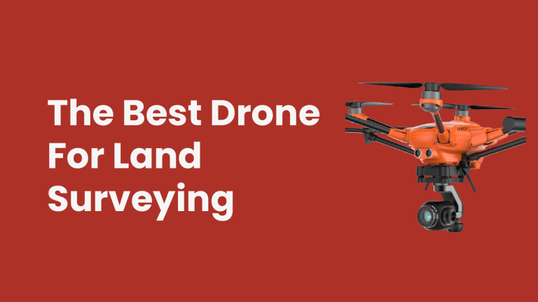
The Best Drone For Land Surveying There are various kinds of drones on the market, but today we are going to see the ones that are best for land surveying. Drones, these days are being used enormously by landowners to survey land. These compact unmanned aircraft have simplified how these tasks are done. But remember not all drones can provide the same footage quality. Choosing the right land surveying drone is the top challenge you might face. This might need superior stability, better device range and operating time, HD image quality, and ease of flight operation. Things to look in for when buying a drone for land surveying 01 02 03 04 Stability Image quality Operating time and flying range Ease of operation Stability Stability is not just essential for land surveying but also other tasks performed by a drone. This makes the drone stay or moves in a place you command from the transmitter. It is attained in drones with the help of a gyro, and usually, a 6 — axis gyro offers the freedom and stability you expect. Operating time and flying range This is also a huge concern in the drone industry since the battery life of today’s technology support just a few minutes or so of flying time in many cases. This time will not be enough to conduct anything or to survey an adequate land. Fortunately, some advanced drones can provide you with up to thirty minutes of flight. If you are still struggling to choose the right drone, there are drone surveying services that can assist you. Image quality As mentioned, image quality is the result of various factors. The first thing is the type of camera used. The most affordable one can offer HD 720p image quality which might be enough for the type of you work you want to deliver. Some drones can also provide footage in UHD (4K). Ease of operation A drone is not tough to fly, but a slight learning curve is needed when it comes to affordable models. Drone topographic survey for land surveying however will not just require a user–friendly unit, but also the one that can do a few things on its own. Some drones offer extra flying aided programmed into the device. Drones can also be programmed to follow a specific route, which can be helpful in many cases. This doesn’t mean that drones can be left on their own, but the interaction with the operator is a friendlier one. Contact Falcon 3D, if you are looking for ways to survey your land with a drone and for a drone topographic survey. Source: https://falcon3dmeuae.medium.com/the-bestdrone-for-land-surveying-92174a40ac8a Address Suite #209, Apricot Tower Dubai Silicon Oasis P.O. Box 238544, Dubai, United Arab Emirates Phone +971 4 327 1414 http://www.falcon3dme.com/contact.html Thank You
